Repeated hydrographic transects - GO-SHIP
What are repeated hydrographic transects?
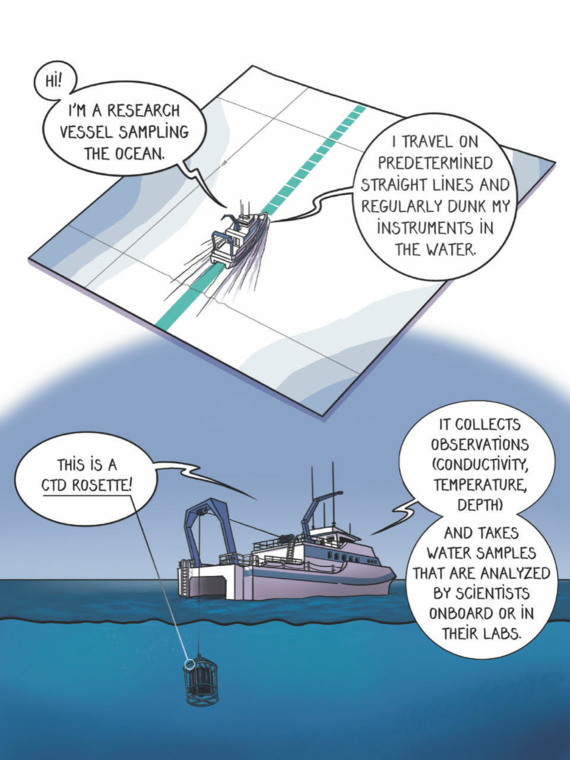
Repeated hydrographic transects are ocean observing missions carried out every ten years on the same trajectories (the transects). They are part of the GO-SHIP program and provide observations on distributions and changes in inventories of heat, freshwater, carbon, oxygen, nutrients, etc.
How does it work?
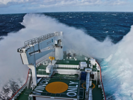
The ships use different instruments to collect various types of observations, such as conductivity, temperature, depth (CTD). They also take water samples, each carefully labeled to record its location and depth.
Conductivity measures a material's ability to conduct an electric current. In the sea, it is linked to how much salt there is.
What kind of ocean observations are collected?
- Dissolved inorganic carbon
- Total alkalinity
- Acidification (pH)
- Oxygen
- Nutrients
- Chlorophyll
- Water pressure
- Water temperature
- Ocean velocity
- Conductivity > Salinity
Salinity measures how much salt is present in the sea water.
There are 3 types of sampling, depending on its importance:
- Level 1: highest priority and should be collected at least once per decade.
- Level 2: highly desirable information and should be collected when possible.
- Level 3: supplementary measurements and should be collected according to opportunity and space available.
What are the observations helping with?
Here are some examples of how the information gathered can be used.
Operational services
Repeated transects observations are used for climate studies, for example to understand and document large-scale ocean water property distributions, their changes, and the drivers of these changes. They also used to initialise ocean models and provide reference in-situ data.
Ocean health
Analysing the information from these survey gives scientists insight on how a future ocean will increase in dissolved inorganic carbon, become more acidified and more stratified, and experience changes in circulation and ventilation processes due to global warming and altered water cycle.
Stratification occurs when the ocean forms layers of water that don’t mix. It blocks the flow of oxygen, nutrients and heat, threatening ocean health and preventing the ocean from playing its role in attenuating climate change.
Where can we find it?
The current 62 hydrographic reference sections cover all major ocean basins from coast to coast (or coast to ice) and full depth. It samples areas often inaccessible to other platforms.
GO-SHIP key numbers
- Number of decadal full GO-SHIP reference sections: 62
- Number of cruises: 123
- Number of countries involved: 12
- Starting year: 2009
Learn more about GO-SHIP
Global hydrographic surveys have been carried out approximately every decade since the 1960s through research programs. In 2009 the Global Ocean Ship-Based Hydrographic Investigations Program (GO-SHIP) was established as part of GOOS to provide international coordination and scientific oversight of the decadal global ocean surveys on a continuing basis.
If you want to learn more about this program, visit the GO-SHIP website.

